

SRT Marine Technology
Overview
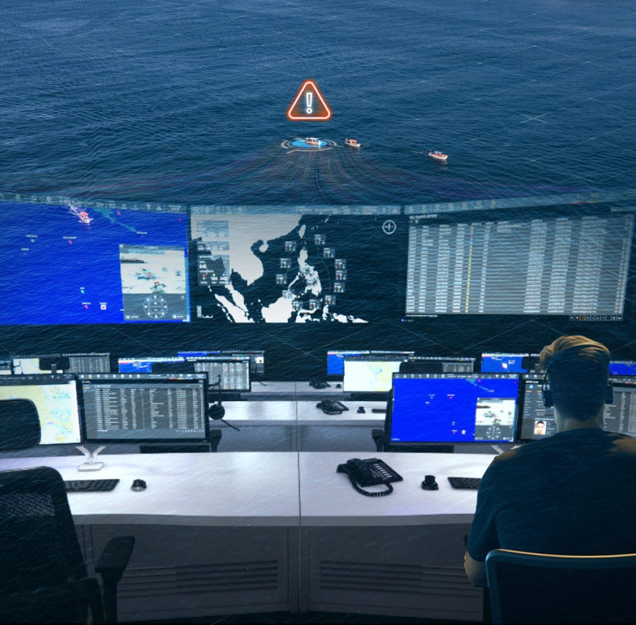
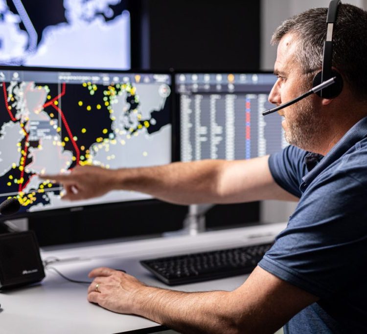
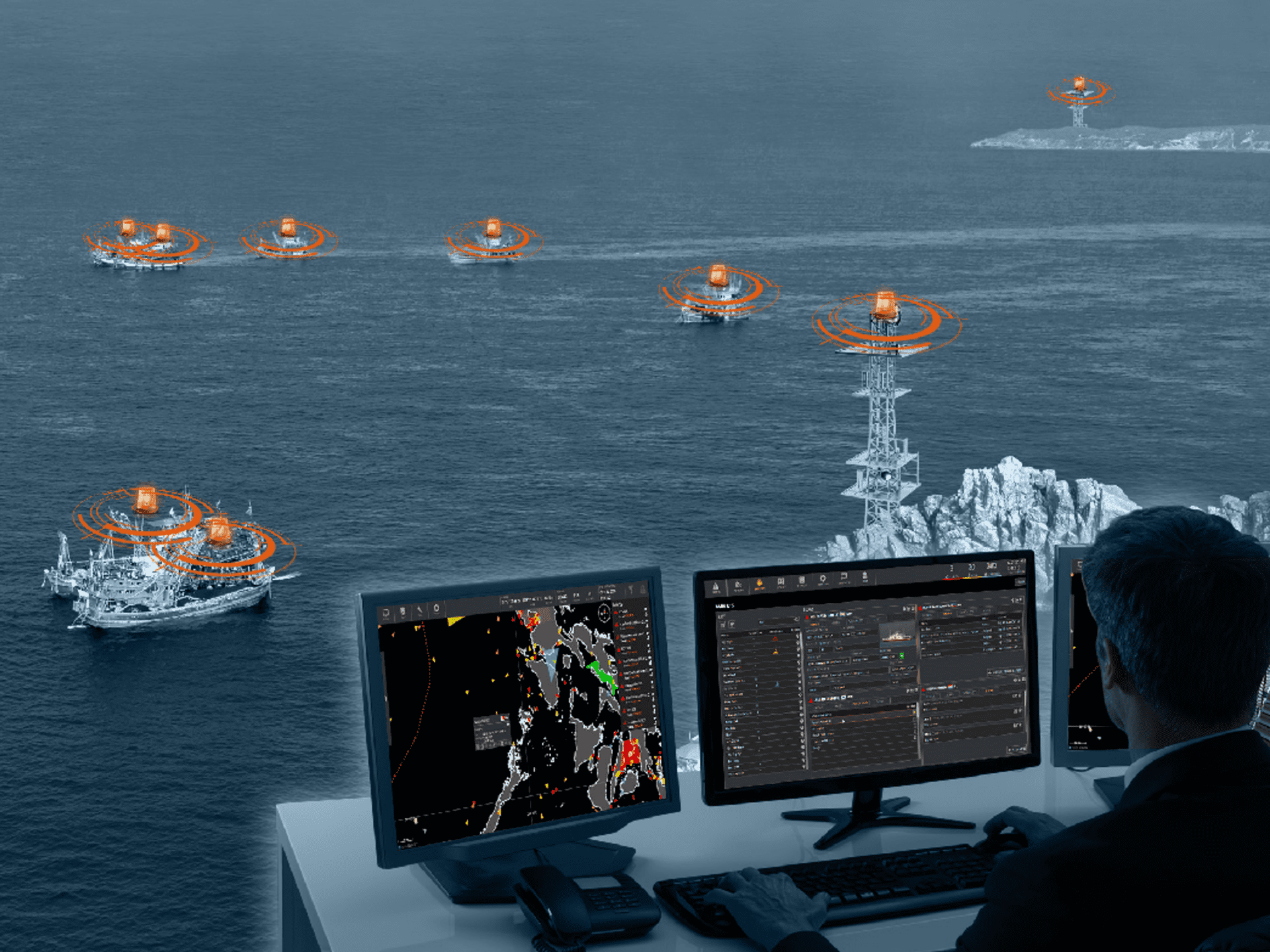
In 2019, an international project was initiated to create a dedicated system for imaging and analysing maritime traffic. The system was designed to generate spatial data imagery related to maritime activities, focusing on visualising ship positions, calculating traffic patterns, and simulating maritime movement. The platform aimed to provide detailed maps and analyses to improve the understanding of maritime traffic, particularly for the UK market.
Objectives
The key objectives of the project were:
-
Provide high-quality image generation in the form of maps for maritime traffic analysis.
-
Enable accurate position calculation and traffic pattern analysis for ships.
-
Develop a system capable of simulating ship traffic, helping users understand maritime behaviour in key regions.
-
Ensure opticalisation and high performance within the specified hardware limitations.
-
Deliver the project to meet the needs of the international market, with the UK as the primary customer.
The Challenge
The project posed several challenges that needed to be addressed, including:
-
The need for a condensed view of maritime traffic, including detailed visualisation of shipping lanes and ship positions.
-
Ensuring high performance and opticalisation despite hardware limitations, particularly in terms of processing and visualising complex spatial data.
-
Realising the project to meet the requirements of an international market, with a primary focus on the United Kingdom as the main customer.
-
Developing a platform that could support the simulation of ship traffic, providing users with insights into real-time and simulated maritime activities.
The Solution
To meet these challenges, a dedicated system was designed and implemented, focusing on maritime traffic imagery and spatial data analysis. The key components of the solution included:
-
Dedicated Imaging Platform:
A system built specifically for imaging spatial data related to maritime traffic, using advanced geographic information system (GIS) technologies to generate maps and visual representations of maritime traffic. -
Position Calculation and Simulation Systems:
The platform enabled precise position calculation of ships and facilitated detailed simulation of ship traffic to offer insights into maritime movements. -
Technology Stack:
The solution was developed using Java Enterprise Edition (JEE), integrating dedicated libraries to handle spatial data and maritime traffic simulations effectively. -
Implementation:
The system was implemented to include simulation systems and presentations, ensuring that the data could be visualised and analysed within the performance constraints of the available hardware.
Results and Benefits
Through the successful implementation of this maritime traffic imaging platform, the following benefits were achieved:
-
Accurate image generation in the form of maps, enabling better visualisation and analysis of maritime traffic for decision-making.
-
Improved position calculation and simulation capabilities, allowing for enhanced understanding of shipping patterns and traffic flow.
-
A high-performance platform, delivering opticalisation despite hardware limitations, ensuring the system met both performance and usability requirements.
-
Project realisation for the international market, particularly addressing the needs of the United Kingdom, as the primary customer for maritime traffic analysis.
-
Effective simulation systems that allowed users to visualise and explore ship traffic scenarios in real time or through historical data.
The maritime traffic imaging platform provided a comprehensive solution for monitoring and analysing maritime activity, offering valuable insights for international markets and setting a new standard for maritime traffic visualisation and simulation.


